Brace for Severe Thunderstorms and Temperature Swings in the Midwest
Get ready for some wild weather in the Midwest! Severe thunderstorms are on the horizon for Tuesday, packing damaging hail, strong winds, and even a slight chance of tornadoes. The action kicks off late Monday night, with Michigan, Indiana, and Ohio in the crosshairs for potential hail storms. By Tuesday afternoon, the threat ramps up across the mid-Mississippi Valley and southern Great Lakes, bringing stormy conditions to cities like Chicago and St. Louis. As the night progresses, straight-line winds become the main concern, though tornadoes can't be ruled out. And brace yourselves for a temperature rollercoaster – after the storm passes, some areas might even see snowflakes!
So, what's causing all this chaos? Blame it on a potent mix of warm air from the Gulf of Mexico and a powerful low-pressure system moving in from the central U.S. Stay weather-wise and keep an eye on the sky as this unusual February storm brews up some serious action.
WHY IS THIS IMPORTANT?
Hail, crazy winds, and maybe even tornadoes put drivers, cargo, and roads at risk. So, it's super important for trucking companies and logistics providers to keep an eye on the weather forecast. You don't want your people or your shipments caught off guard!
Plus, if the weather goes haywire, it can throw off delivery schedules and mess with the whole supply chain. Knowing what's brewing in the atmosphere, like warm air from the Gulf and those pesky low-pressure systems, helps us get ready and make backup plans to keep things running smoothly.
🔥 OUR HOT TAKE?
Mother Nature's serving up a wild weather cocktail in the Midwest this week. With severe thunderstorms, hail, and a side of potential tornadoes, it's gonna be a bumpy ride from Monday night straight through Tuesday. Michigan, Indiana, and Ohio better buckle up for some hail storms, while cities like Chicago and St. Louis are in for a stormy Tuesday afternoon. And just when you thought it couldn't get crazier, hold onto your hats because straight-line winds and even snowflakes might join the party after the storm passes! Blame it on a mix of warm Gulf air and a powerful low-pressure system. Keep your eyes on the skies and stay safe out there!
After a challenging six months marked by the driest October in 73 years, the Panama Canal is finally seeing a turnaround.
This week, the South and Mississippi Valley are facing another severe weather threat, hot on the heels of a storm last week that resulted in at least three fatalities.
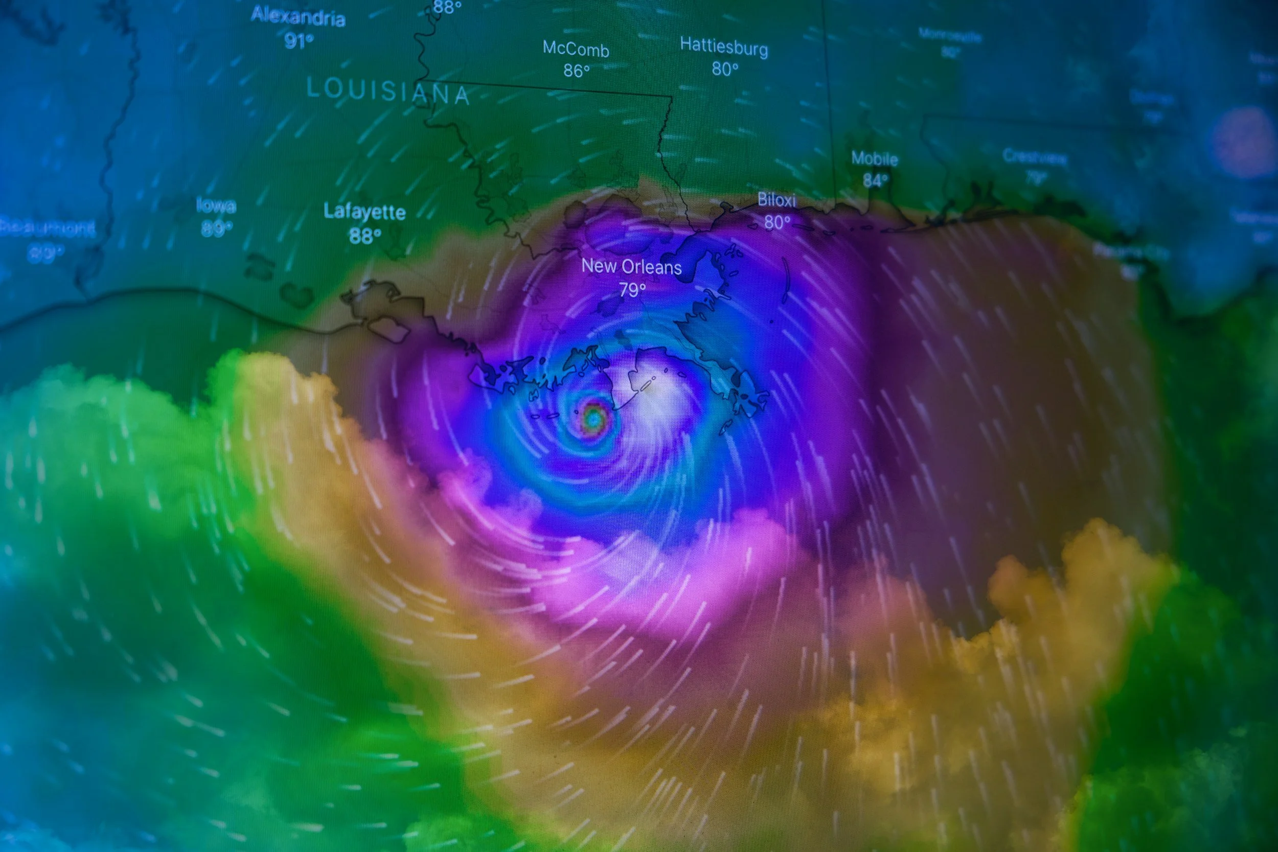
It looks like New Orleans and its surrounding areas might be in for a pretty intense hurricane season.
A series of severe storms recently swept across the U.S., from the South to the Ohio Valley, causing significant destruction and loss of life.
Get ready for some wild weather in the Midwest! Severe thunderstorms are on the horizon for Tuesday, packing damaging hail, strong winds, and even a slight chance of tornadoes.
The prolonged snow absence in the Northeastern United States is about to change as a winter storm gathers strength over the upcoming weekend, marking a significant shift in the weather pattern.
The Lahaina Fire on Maui, responsible for the deadliest wildfire in American history, was fueled by a downslope windstorm, debunking earlier links to nearby Hurricane Dora.
Southern California is bracing for its first significant winter storm, fueled by an El Niño-influenced atmospheric river, which is expected to bring heavy rain and the risk of flooding, mudslides, and power outages.
A powerful storm system brought heavy rains, strong winds, and power outages to the Northeast, causing traffic disruptions, flight delays and cancellations, and flooding in several areas.
The first half of December in California has been dry, but a shift is expected in the second half as two storm systems approach the coast.
A developing storm system is expected to bring a mix of weather conditions to the eastern half of the United States over the weekend.
Another potent atmospheric river storm is set to bring heavy rainfall, strong winds, and possible mountain snow to the Pacific Northwest through midweek.
Multiple storms are expected to hit the Northwest in the coming days due to atmospheric rivers, bringing heavy rain and significant snowfall.
Significant winter weather struck the interior Northeast, leading to hazardous road conditions and a fatal accident.
Intense rainfall in parts of Florida has caused widespread flooding, power outages, and school closures.
The first significant storm of the season is set to hit Southern California midweek, bringing cooler temperatures and 1 to 2 inches of rain over multiple days, which is unusual for this time of year.
The National Oceanic and Atmospheric Administration (NOAA) has released historical maps showing how El Niño influences snowfall in the United States.
Storm Ciarán swept through Western Europe, bringing record-breaking winds and causing widespread power outages, transportation disruptions, and significant damage.
An atmospheric river is expected to form between Hawaii and California, influencing a storm system set to arrive over the weekend.
Following the devastation caused by Hurricane Otis in Acapulco, Mexico, which claimed 27 lives and left residents facing food and water shortages, looting incidents occurred in the city.
Hurricane Otis, a Category 5 storm, struck Acapulco, Mexico, resulting in at least 27 fatalities and four missing individuals, with widespread damage and communication outages.
The first major snowstorm of the season is expected to hit the northern Cascades, Rockies, and North Dakota, creating hazardous travel conditions.
Hurricane Otis underwent an astonishing transformation from a minor threat to a catastrophic monster within a single day.
The first significant snowstorm of the season is set to hit parts of the northern U.S., including the Pacific Northwest, northern Rockies, and northern Plains.
The Bay Area experienced the onset of the wet season with up to half an inch of rainfall on Sunday, followed by a dry period expected on Monday and Tuesday, with temperatures ranging from the 60s along the coast to near 80 inland.
LaGuardia Airport in New York faced severe flooding in Terminal A, affecting budget airlines Spirit and Frontier, prompting its temporary closure.
A tropical storm warning has been issued for parts of the East Coast, including North Carolina to Delaware, due to the approach of "Potential Tropical Cyclone Sixteen."
Recent climate records have been broken worldwide, with July 4 becoming the hottest global average day on record.


NOAA forecasters predict an above-normal hurricane season in the Atlantic for 2024, with an 85% chance of higher-than-average activity.